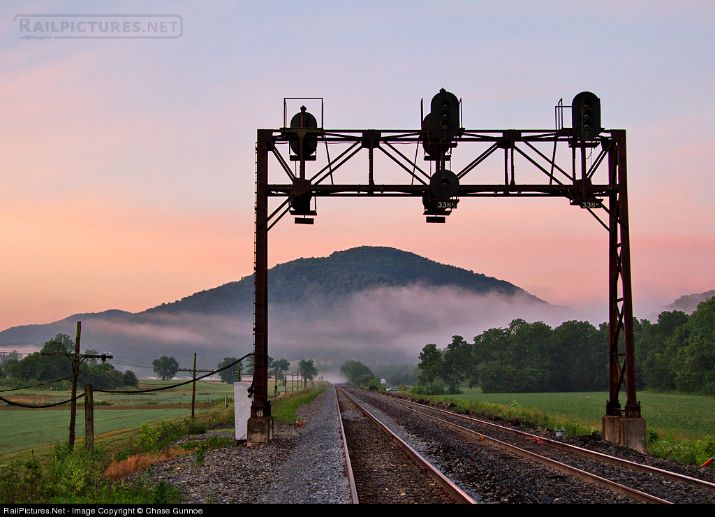
Standard vs Distant Mountains - A Comparison
A few comparison shots from my Tehachapi Pass project showing the difference a few tweaks can make (click image to enlarge)...
Standard Terrain & Normal Fog Settings:
Mojave Looking North:

Mojave Looking South:

Bakersfield Looking South:

Standard Terrain & Extended Fog Settings:
Mojave Looking North:

Mojave Looking South:

Bakersfield Looking South:

Distant Terrain & Extended Fog Settings:
Mojave Looking North:

Mojave Looking South:

Bakersfield Looking South:

There are a few issues - the major one being flickering where the nearest mountains are at the edge of RW's max draw distance. Nevertheless, and although draw distance is limited by in-game code (20K?), adding distant terrain, coupled with extending the fog settings in the TimeOfDay files can make a huge improvement to routes, especially those located in or near mountainous areas.
Standard Terrain & Normal Fog Settings:
Mojave Looking North:

Mojave Looking South:

Bakersfield Looking South:

Standard Terrain & Extended Fog Settings:
Mojave Looking North:

Mojave Looking South:

Bakersfield Looking South:

Distant Terrain & Extended Fog Settings:
Mojave Looking North:

Mojave Looking South:

Bakersfield Looking South:

There are a few issues - the major one being flickering where the nearest mountains are at the edge of RW's max draw distance. Nevertheless, and although draw distance is limited by in-game code (20K?), adding distant terrain, coupled with extending the fog settings in the TimeOfDay files can make a huge improvement to routes, especially those located in or near mountainous areas.

