Small update. I started laying track south on the L, and reached the point where it goes from an Embankment to Elevated structure at Wilson Ave. After much deliberation, I have decided to use the wooden trestle Scalerail for the structure. Switches and crossovers are going to look a bit odd, (it's either no frogs or ballasted switches), but that is a compromise I'm willing to make.
*EDIT*
And more progress has been made. I decided to take the leap and lay the rest of Elevated track. The entire length of the CTA used by the North Shore is now in place.
I've for all intents and purposes completed Howard Street, with the extensive-ish yard and return loop. for North-South L trains.
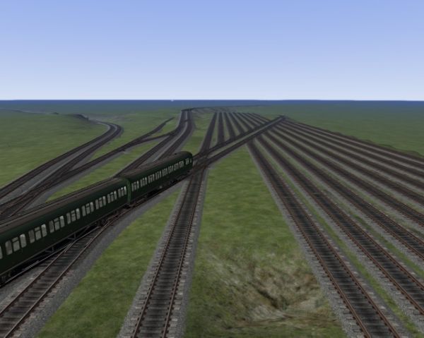
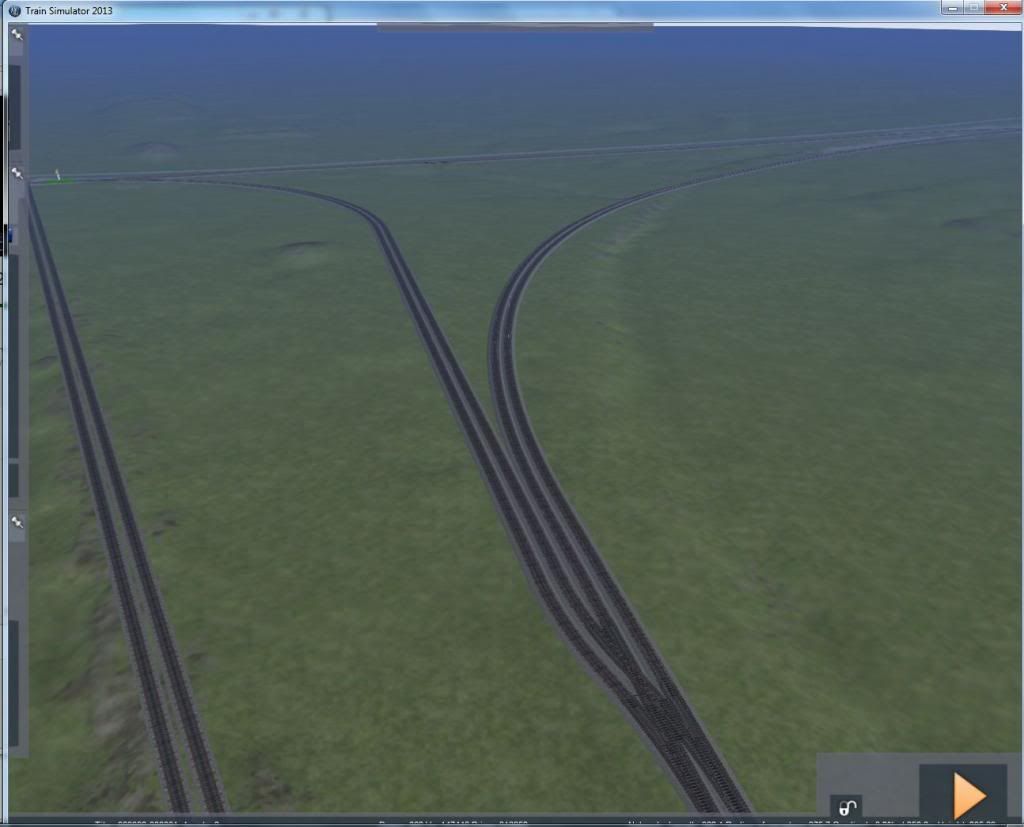
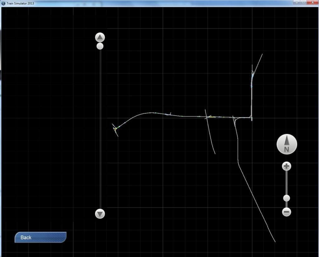
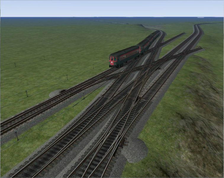
Continuing South on an embankment for about 5 miles, (with a lot of tangent track for fast running), Wilson Ave is reached, where trains start running over the elevated structure. The train in the picture is coming off a separate structure built in the late 1950's for North Shore trains at Wilson Ave to force inbound North Shore passengers alighting at Wilson to pay the CTA fare. To the left a track will continue down a ramp to an interchange with the Milwaukee Road. Until 1973, CTA had a small freight business with local customers between Wilson and Howard. I fully intend to model it here, (since the route is ca. 1962).
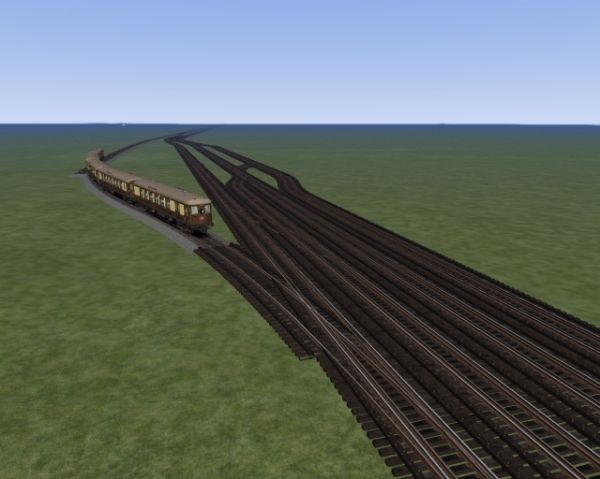
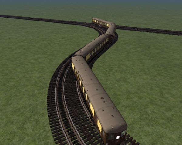
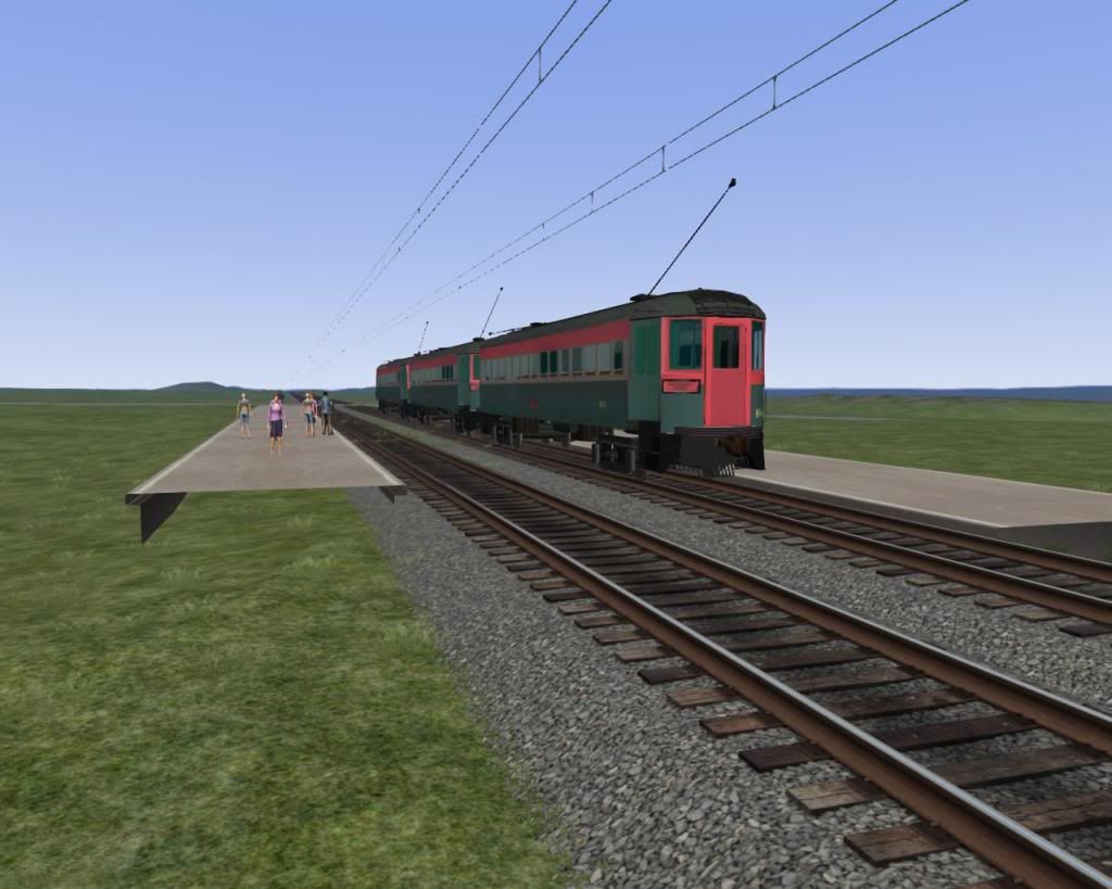
Continuing south the trains encounter various S-curves and kinks in the track where the initial builders attempted to find the cheapest ROW, (at the expense of speed). This is Sheridan, a few blocks North of the Addison stop, where passengers could, (and still can), alight for Wrigley Field and Cubs baseball games.
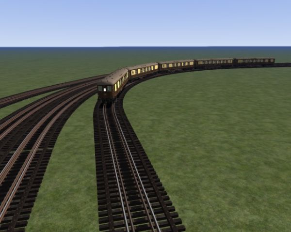
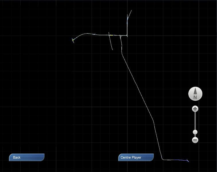
A bit further south of Addison is Belmont, where the Ravenswood line splits off to the north and west. And south of Belmont a lot of blocks is the point where the State Street subway line goes underground. We however continue downtown to the Loop. the train has just passed over the interlocking of Tower 18 heading south. Tower 18 was once billed as the busiest rail intersection in the world, seeing a train every couple of seconds at it's peak. The "North Shore" train will go around the west and south legs of the Loop, before heading south to Roosevelt Road where it terminates.
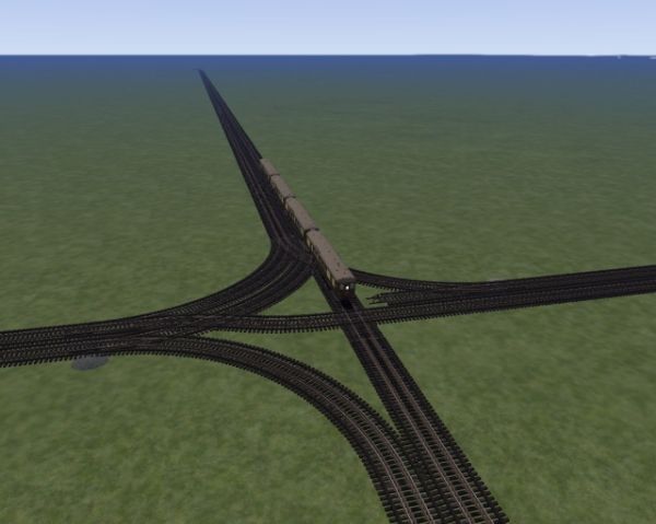
After leaving the Loop at Tower 12, one more reverse curve is encountered before the Roosevelt Road Station, about 10 blocks further south. The track to the upper left goes to a stub end terminal that at this point is used as a Baggage Terminal for North Shore trains.
And that's about it for now. In my current spurt of work, I hope to flesh out the L and surrounding area with sidings and platforms. And I have decided that under the deck, I shall be using the PON-CM elevated structure. Then attention may be made to Wisconsin. Now that I've reached one end of the line, I shall have to go for the other!
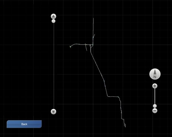
In parting, a map of everything. I would judge it at about 45 miles or so, give or take.
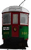
(Sharp eyed viewers may notice that the rolling stock is very British. I'm still looking for someone to construct appropriate rolling stock. I can supply plans and copious amounts of reference photos. Just saying...)


 (That's Sheridan Elms for the North Shore savvy.)

